
Wärtsilä Dynamic Positioning Sensors
When precise manoeuvres are required in a marine environment, relying on GNSS (Global Navigation Satellite System) alone is impractical. Millions of people use GNSS to navigate every day, and everyone has experienced signal loss at some point or situation when the satellite system failed to determine the exact location. This often happens when you are surrounded by tall buildings or structures that obstruct or deflect the satellite signal or when the satellite signal is deliberately blocked or spoofed. Unfortunately, this loss of signal is not limited to the shoreside.
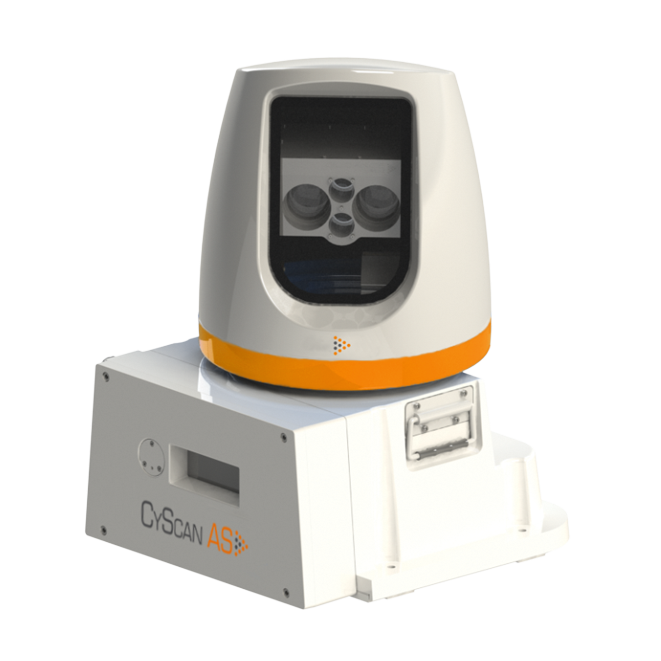
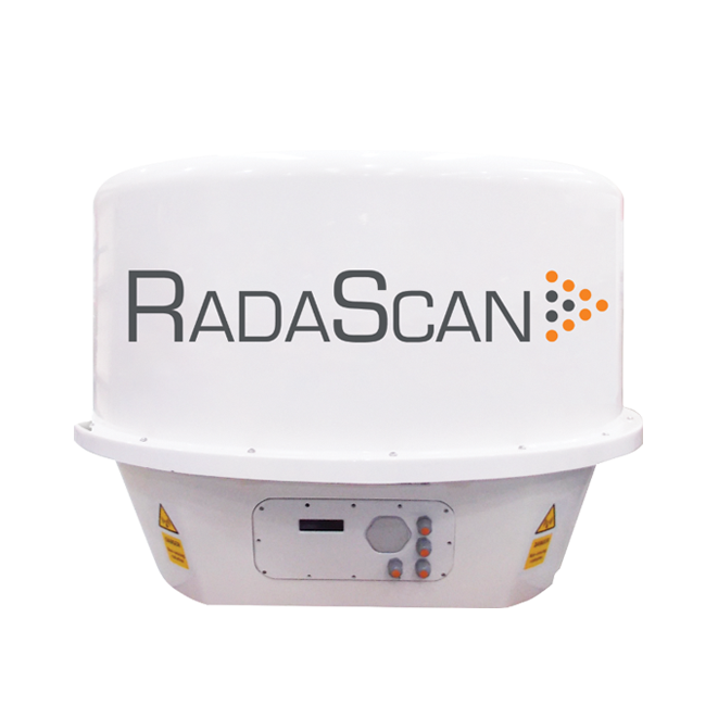
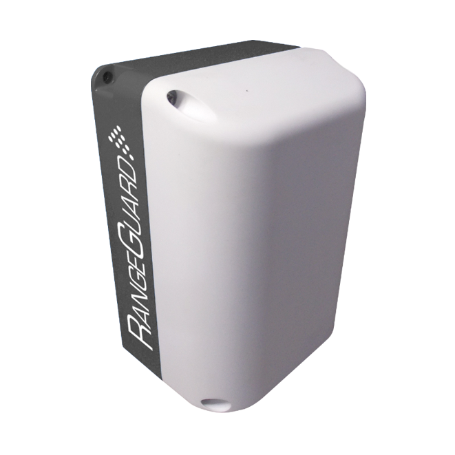
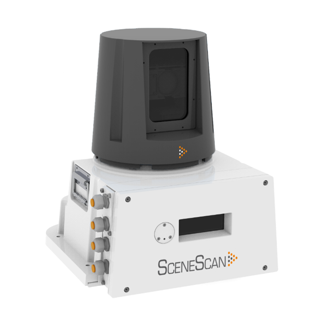
In a marine environment, alternative ultra-reliable positioning technologies are, therefore, required. Wartsila Dynamic Positioning Sensors based on laser and radar technology can provide both local position information (where the vessel is relative to its surroundings), and also situational awareness (regarding what is around the close vicinity of the vessel). This ensures you always have complete view and control of your surroundings, without GNSS gaps and lags.
Key benefits
- Know where you are in relation to your surroundings.
- Increase your safety and improve turnaround times to reduce costs.
- Precise positioning from 1 meter up to 10,000m.
- Targetless technologies to reduce upfront and maintenance costs.
Key features
- Standalone or part of a fully integrated system.
- Interfaces to all Dynamic Positioning systems.
- Automatic wave compensation.
- Different modalities for complete redundancy.
- Special sensors designed for extreme weather, extra-long range, close range, and lasers for positive identification of reflective and high-speed targets.
Featured sensors

